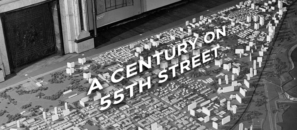
A Century on 55th Street (1920-2020), AKA "Co55" was Chicago Studies' inaugural investigation into the history of a Chicago commercial boulevard (E. 55th Street/Garfield Boulevard) that borders UChicago's campus. Student researchers were assigned specific blocks of the street to research, between S. Shore Drive (1800 East) and the rail lines along S. Stewart Avenue (400 West). They documented the construction, basic architectural details, and (in many cases) demolition of the buildings along the boulevard, as well as the residents and businesses that inhabited them - unlike 63rd Street, many of the structures along 55th/Garfield were historically multi-story, mixed-use buildings. In the Hyde Park neighborhood, particular focus was given to the role of the University of Chicago, which collaborated with neighborhood organizations and the South-East Chicago Commission (a UChicago-affiliated development organization) to enact an unprecedented urban renewal plan that demolished hundreds of working-class dwellings and replaced them with higher-cost, suburban-style single family homes, transforming the community. In Washington Park, students uncovered a remarkable history of intersectional community-building and art-making, especially in the higher-density apartments near the historic South Side elevated train (now the Green Line of the CTA).
Co55's research is unfinished; although abundant raw data have been gathered, these still need to be edited, re-configured, and represented via a GIS-based open-access resource and digital archive. These will be integrated with building footprint layers for the decades between 1920 and 2020, developed through the efforts of GIS specialist/graduate research coordinator Parker Otto (with support from Adrian Rucker and others) and visible in draft form in the Fall 2023 edition of Expositions magazine. For an example of Parker's reconstruction of the historic Hyde Park neighborhood, see his "Roaring 20s" project, which compares zoning and land use patterns for all of Hyde Park between the 1920s and the present day. Map layers will be enriched by the narratives and micro-histories developed by the student researchers themselves. For examples of the latter, see Co55's collaboration with Expositions Magazine (a student publication sponsored by our friends in the Committee on the Environment, Geography, and Urbanization), which published stories from 55th Street based on the project's work in their Fall 2023 edition. Chicago Studies is grateful for the collaboration of the UChicago Library's Center for Digital Scholarship in the continued development of Co55's research products.
